Connecting Earth’s Coordinates to the Global Internet Root
.ATLAS is an authoritative generic Top-Level Domain (gTLD) purpose-engineered to bridge geographic coordinate systems (GIS), spatial computing, planetary digital twins, and global cartography directly into the Internet DNS root zone.
Planetary Spatial Addressing
Traditional domains identify servers and IP addresses. .ATLAS binds physical coordinates (latitude, longitude, elevation), GeoJSON-LD boundaries, and spatial 3D meshes into root-level domain records.
Cryptographic DNSSEC Trust
Signed with state-of-the-art Ed25519 and ECDSA P-256 cryptographic curves. Guarantees immutable provenance, preventing cache poisoning, BGP route hijacking, and spatial coordinate spoofing.
Anycast Global SLA
Engineered to exceed ICANN Specification 10 requirements. Multi-cloud Anycast network with 200+ edge POPs across 6 continents delivering 100% DNS availability and sub-5ms query latency.
The Need for a Spatial Top-Level Domain
As human computing shifts from two-dimensional browser windows into three-dimensional spatial environments, augmented reality, robotics, and planetary digital twins, the underlying naming system must evolve. Current internet protocols treat domains purely as virtual abstractions disconnected from physical space.
The .ATLAS generic Top-Level Domain rectifies this fundamental gap. Under the ICANN Next Round program, .ATLAS introduces an authoritative root namespace where geographic coordinate anchors, spatial resolution queries, and physical digital twins co-exist natively.
“Every meter of planetary terrain, every climate sensor, and every autonomous airspace vector deserves an authoritative, cryptographically verified address in the global root zone.”
Explore the Vanguard Ecosystem
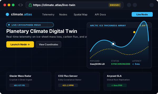
See how early research institutes, climate scientists, and smart cities are using .ATLAS.